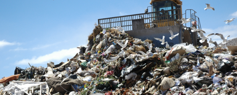
Enlarge (credit: Oregon Metro)
Methane is a much more potent greenhouse gas than carbon dioxide, trapping much more heat. Point-source methane emitters are typically small—usually less than 10 meters in diameter—but they emit plumes of highly concentrated methane. So if we want to reduce the amount of methane we’re spouting into the air (which we obviously should, although we’re not), they’d be great potential targets. If only we could identify them.
To map such point emissions, scientists in California flew over the state with an airborne imaging spectrometer, using it to measure methane emissions. They focused on a long list of potential sources: oil and gas production, processing, transmission, storage, and distribution equipment; refineries; dairy-manure management sites; landfills and composting facilities; wastewater-treatment plants; gas-fired power plants; and liquified and compressed natural gas facilities.
Most facilities, especially the dairies and the oil fields, were in the San Joaquin Valley. The researchers ended up measuring emissions from 564 distinct sources at 250 different facilities. These point emitters had not really been examined before, because they often only belch out their methane intermittently or in a somewhat sporadic manner. To catch them in the act, the researchers repeated the flyovers five times between August 2016 and October 2018.
No comments:
Post a Comment